 We spent about 1.5 hours building Saturday... a grill that is. The building experience of the CH701 is much easier compared to a Char-Broiled grill. Seriously.
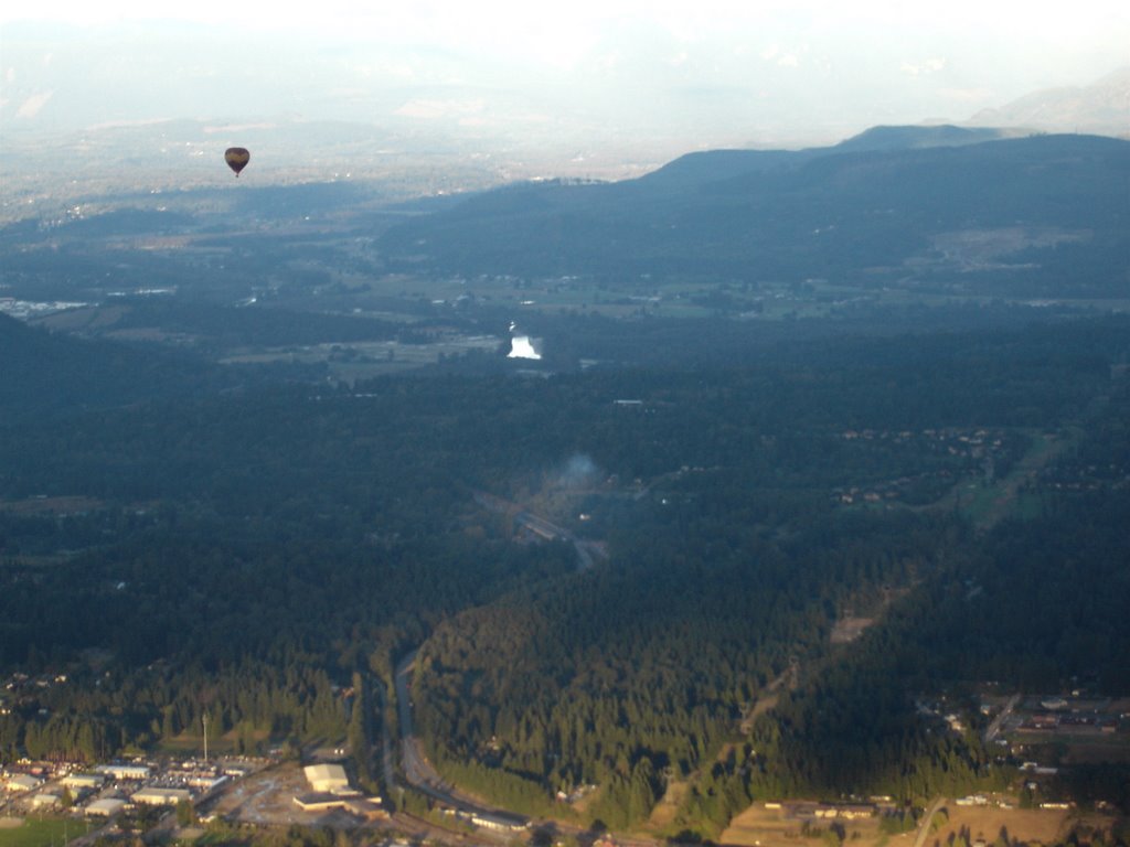
In my never-ending campaign to justify the expense of the Garmin 496 a little bit of aerial recon was performed... on pumpkin patches. We flew up and down the surrounding farm lands looking for patches, and when we found one that looked good we marked the location. The plan is to simply use to GPS to navigate us there in a few weeks. In 1.5 hours of flying we covered the same amount of ground that a whole day's worth of driving would take.


No comments:
Post a Comment